
Project record
- Site
- Carolina Park, Mount Pleasant, SC
- Use
- Car dealership development
- Capture
- Grid mission, nadir imagery at 197 ft, 75% front and side overlap
- Area
- 9.45 acres per flight
- Images
- 240 per flight
- Resolution
- 1.7 cm (0.7 in) per pixel
- Latest flight
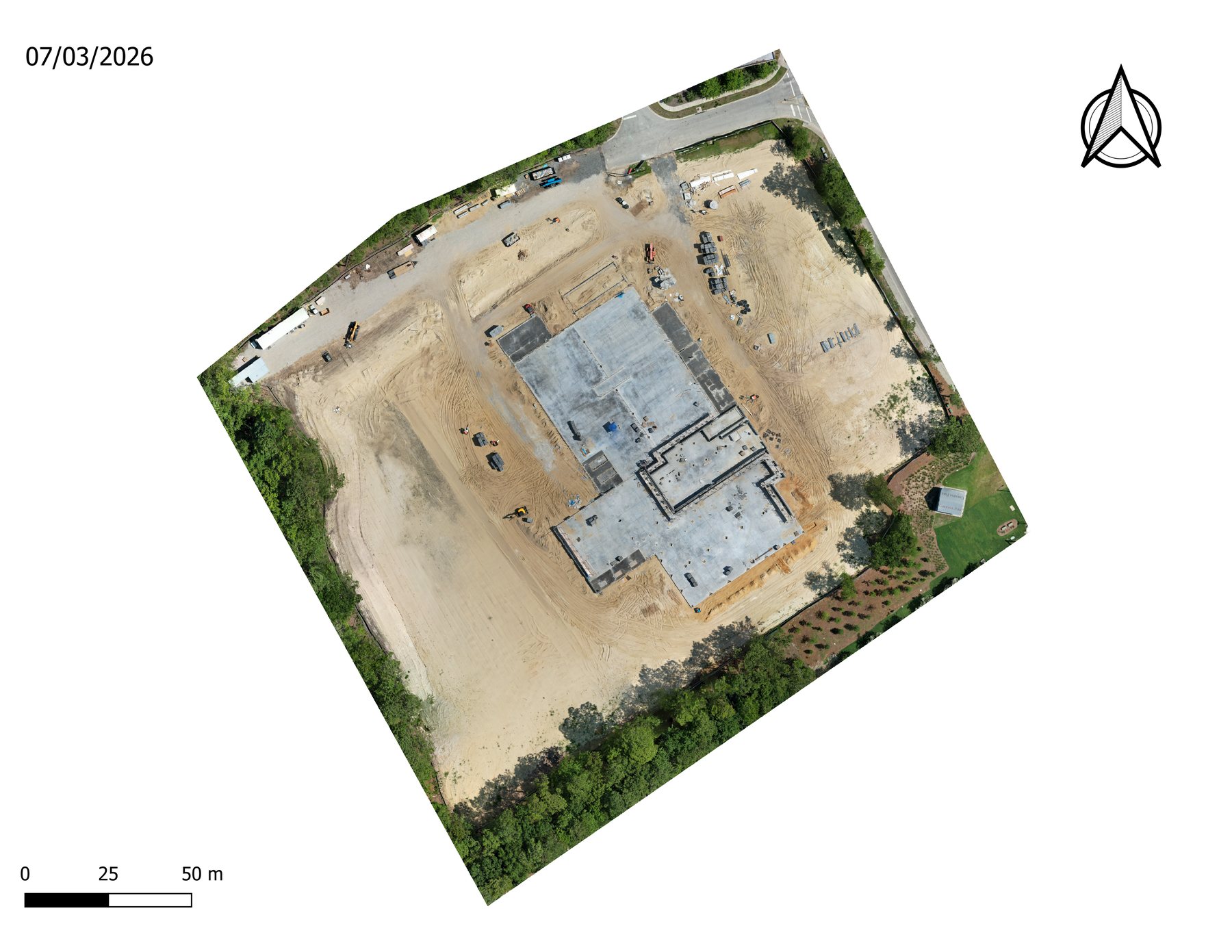
- 07/03/2026
- Outputs
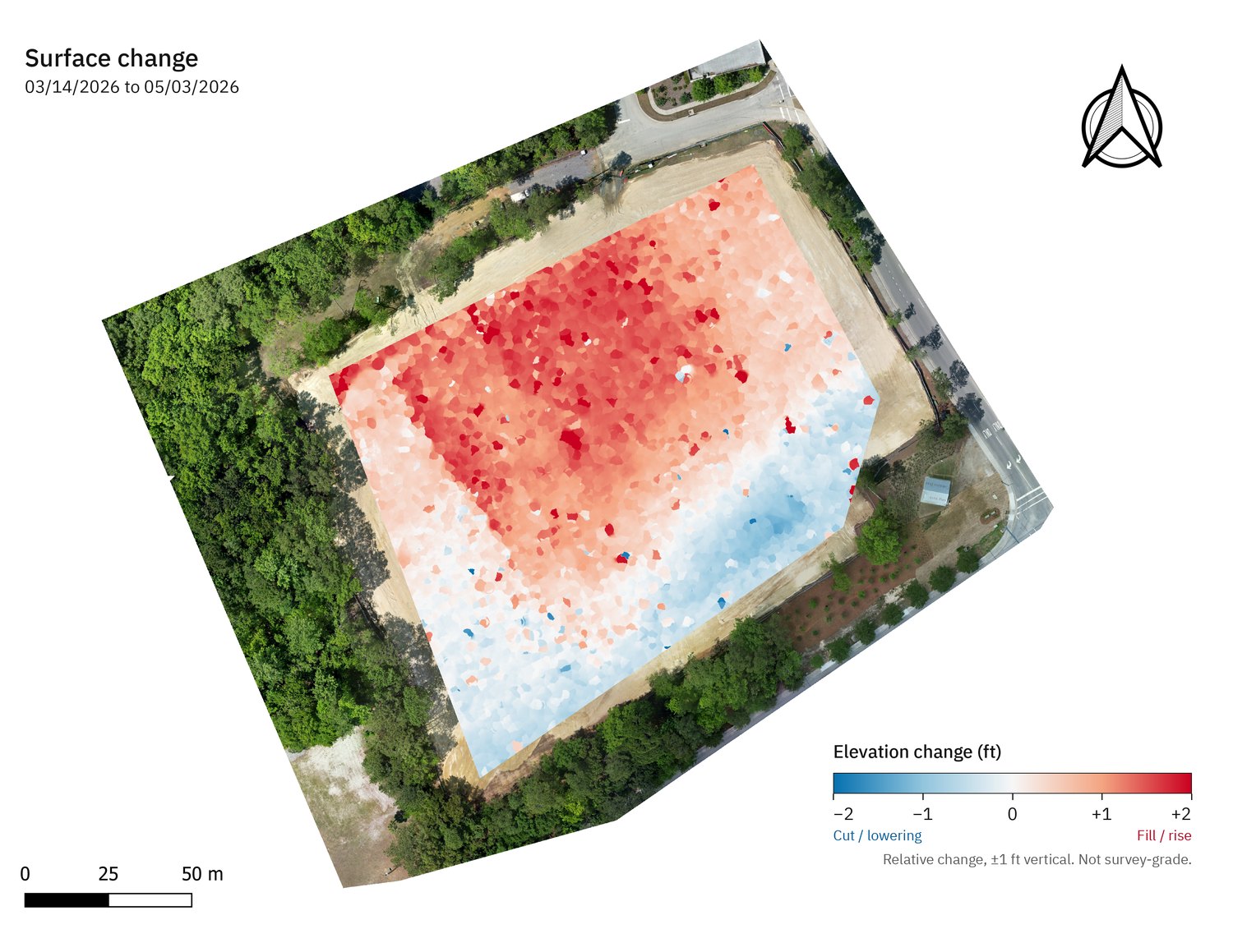
- Orthomosaic, point cloud, surface model, KMZ overlay, sample Site Intelligence Report
- Status
- In process
Time-lapse
Watch the site take shape.
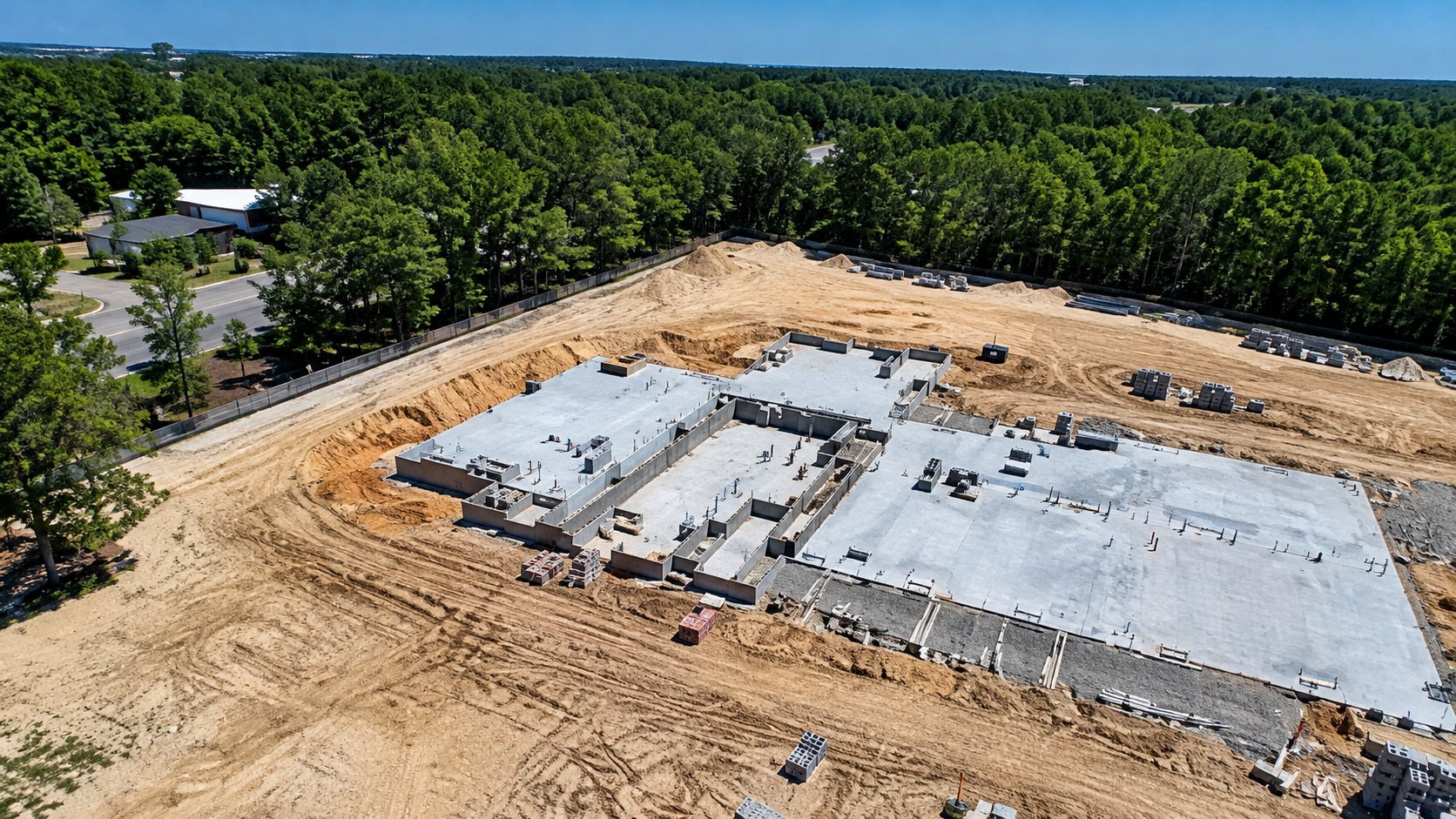
Every flight follows the same plan, so the captures line up into one continuous time-lapse of the site.
What this shows a GC
One flight, three answers.
Where are we?
The orthomosaic shows current site conditions at a measurable scale.
How much moved?
The surface model is the baseline for cut/fill and stockpile volumes on the next flight.
Who needs to know?
The report packages it for OAC meetings and owner updates without anyone opening GIS software.
Map your site the same way.
Send the address and what you need to know. You'll get a scope and a flight date back.